Your browser is not supported for this experience.
We recommend using Chrome, Firefox, Edge, or Safari.
Bayou Greenbelt Master Plan
The Bayou Greenbelt Master Plan, developed in partnership with the National Park Service–RTCA program, is now complete!

Bayou Greenbelt
PROJECT OVERVIEW
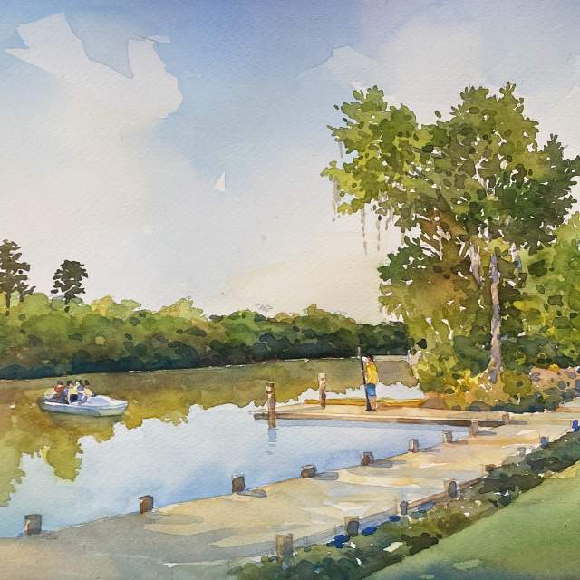
An interconnected network of blue and green trails, the Bayou Greenbelt will transform the quality of life, resilience, drainage, and connections to the natural environment and recreation. Trailheads and boat launches will provide access to new multi-use trails and bayous and coulees that are currently not accessible. The Bayou Greenbelt could become a beloved amenity, connecting people to that natural environment that makes SWLA special.
PROGRESS

- Bayou Greenbelt master plan finalized and published
- National Park Service visits SWLA and participates in ribbon-cutting of kayak launch at Riverside Park
- Water Institute of the Gulf completes water modeling project
- LSU Landscape Architecture students offer ideas to enhance Bayou Greenbelt through their studio program
- Bayou Greenbelt logo created by students in the Visual Arts Department at McNeese State University
- National Park Service selected Bayou Greenbelt as a project for its Rivers, Trails and Conservation Assistance Program (RTA)


