Your browser is not supported for this experience.
We recommend using Chrome, Firefox, Edge, or Safari.
West Side Itinerary
Click here for Printable Version.
Estimated Activity Time: 3hrs 50mins (includes 1hr for lunch)
Mileage: 126 Miles, Driving Time: 2hrs 19 mins
Depart for the Creole Nature Trail All-American Road.
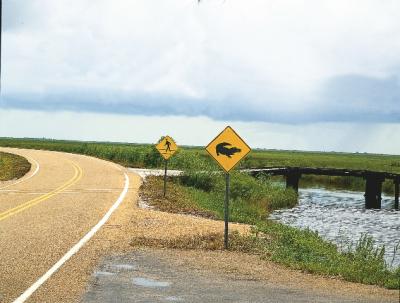
 One of only 57 All-American Roads in the United States, the Creole Nature Trail All-American Road world-class bird and alligator populations make this byway a natural wonder while top-notch fishing, hunting, crabbing, boating, nature photography and other outdoor opportunities distinguish the byway as a recreational paradise.
First stop, Creole Nature Trail Adventure Point.
Creole Nature Trail Adventure Point is a free, fun attraction that immerses you in nature and Louisiana’s unique culture. Through imaginative, hands-on displays sure to inspire, you can learn the best places to spot alligators and migrating songbirds, take a peek at wildlife found in bayous and marshes, smell the mouthwatering aromas of Cajun/Creole cooking, and “play along” with a Cajun and Zydeco band.
Time to stretch your legs at the Sabine National Wildlife Refuge’s Wetland Walkway.
Located within Sabine National Wildlife Refuge, this 1.5 miles (loop) fully accessible boardwalk offers walking access into and over saltwater marshes.
 Experience the “end of the earth.” Visit Holly Beach, one of several undeveloped Gulf beaches.
One of 26 miles of accessible Gulf beaches perfect for picnicking, swimming, shelling or surf fishing.
Calling all Birders! You do not want to miss the Peveto Woods Sanctuary.
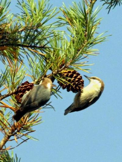
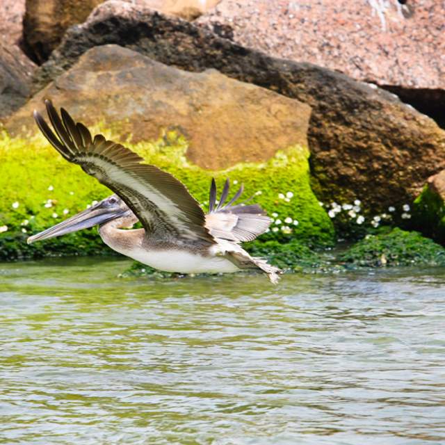
Found directly at the center of the trans-gulf migration path on the edge of the Gulf, Peveto Woods chenier habitat is ecologically vital to a host of winged wonders — both birds and butterflies. It is preserved and maintained by the Baton Rouge Audubon Society. In the fall, Peveto Woods is a last stop for food and rest as birds head south over the Gulf. In the spring, as birds cross the Gulf heading north, it is the first stop for food and rest. It’s a great place for birding, butterfly observation and nature photography.
You’ve worked up an appetite.
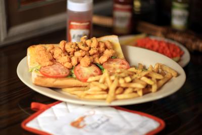
Treat yourself to a seafood dinner, po'boy, or choice of plate lunches at one locally owned eateries in the area. Click here for listings. *Note you are on the west side of the trail, keep that in mind while searching through listings*
The Scenic Route.
 You’ve completed the west side of the Creole Nature Trail and most of the western spur. Head back to the city for more fun. Click here for more itineraries and trip ideas.
Motivated to conquer the Trail?
Continue your excursion along the Creole Nature Trail by heading east on Hwy. 82 for a ride on the Cameron Ferry that will take you (in your vehicle!) across the Calcasieu River Ship Channel. Keep a sharp eye out as porpoises are a common sight among the boats in the ship channel, hoping for a free meal from the shrimp boat nets or just lazy playing. Once you are back on land, head east into Cameron. Click here for the Creole Nature Trail – East Side Itinerary and just work your way to Lake Charles, La.
Estimated Round Trail Trip Mileage: 162.6 miles; Driving Time: 3hrs 55mins
Click Here for a printable West Cameron Parish Beaches brochure.


